
Red Frog Beach Island Resort beach forecast: weather, water & waves
Isla Bastimentos, Bocas del Toro, PA · Panama Caribbean, Panama · 9.340, -82.178
Updated : moderate seaweed, beach grade B-, sea 87°F.
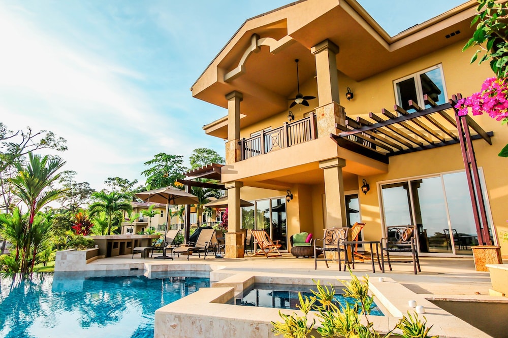


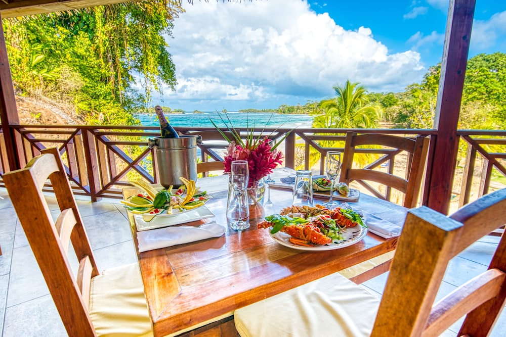

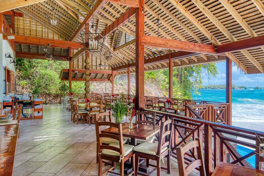
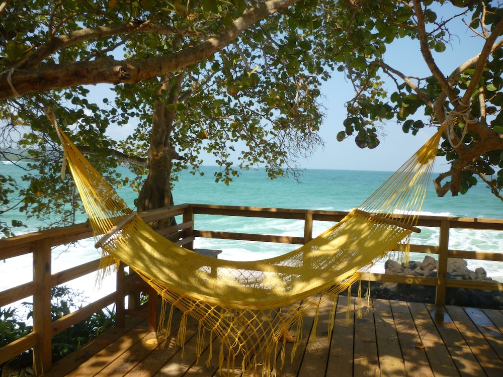
Veabird's call
Monday at B is the fair best, with calm water and 87°F water.
Hotel Bahia del Sol, 5 mi away, grades A- on Monday.
Grades from Veabird's beach forecast; wording by AI (Muse Spark), checked against the forecast. Updated Nov 13, 01:00 UTC.
Tell me when Red Frog Beach Island Resort grades A
One email when the beach grades A, at most once a week per beach. We only ask for your email address, and every email has a one-click unsubscribe.
We email you a link to confirm first. Privacy
Plan your trip
Where to stay nearby
Partner links: Veabird may earn a commission at no cost to you. Partners never affect forecasts or scores.
Questions about Red Frog Beach Island Resort
Does Isla Bastimentos get sargassum (seaweed)?
Yes, in season. At Red Frog Beach Island Resort the typical-year risk is moderate or higher from May to August and peaks in July (moderate). How much lands varies a lot by year, wind and currents.
What are the worst and best months for seaweed at Red Frog Beach Island Resort?
Worst: June and July, though even then the typical risk is moderate. Best: September through April, when the risk is usually low.
How warm is the water at Red Frog Beach Island Resort?
About 86°F in November. The sea is warmest in May, June and October (about 87°F) and coolest in January and February (about 83°F).
When is the best time to visit Red Frog Beach Island Resort?
For warm water, low seaweed and dry weather, aim for January through April. April is usually the quietest of those, with about 24 rainy days and a sea near 85°F; seaweed risk is low.
Does Red Frog Beach Island Resort have a sargassum barrier or beach cleanup?
Veabird doesn't track barriers hotel by hotel; this is what the Panama Caribbean area does. Offshore barriers in Panama Caribbean: none. Resort crews: Lodges hand-rake. Typical clearing time: Landings infrequent and usually light.
When is hurricane season at Red Frog Beach Island Resort, and how often do storms hit?
The Atlantic hurricane season runs June through November and peaks around September. No tropical storm passed within 86 miles of Red Frog Beach Island Resort in the 55 seasons from 1971 to 2025.
What guests say about Red Frog Beach Island Resort
Guests like Abundant wildlife viewing (monkeys, sloths, red frogs, birds) · Private deck and comfortable bedding · Responsive, helpful staff (WhatsApp communication) · Great location for snorkeling and Polo Beach access
Watch for Accommodations need updating/repairs · Occasional critters in rooms (lizards, insects) · Remote access requires water taxi ($8 per ride) and limited on-site grocery options · Main beach may be red-flagged at times, limiting swimming
- Cleanliness
7.8 - Service
9.7 - Location
9.3 - Room Quality
8.6 - Amenities
8.9 - Value for Money
7.5 - Food and Beverage
8.8 - Overall Experience
9.0
Read all 89 reviews · Compare on Expedia
Scores and reviews come from guests who stayed, through LiteAPI (Nuitée). The likes, watch-fors and category scores are an AI summary of those reviews. Partner links: Veabird may earn a commission.
Sargassum season at Red Frog Beach Island Resort
Sargassum risk at Red Frog Beach Island Resort typically peaks around July (moderate: moderate or heavier seaweed on the beach in an estimated 40% of weeks). Lowest-risk months: January, February, March, April, September, October, November and December. Actual landings vary a lot by year, wind and currents; check the live conditions above.
Estimated share of weeks in each month with moderate or heavier seaweed on the beach. Veabird takes the landing season seen on Quintana Roo's beaches (a Puerto Morelos beach camera, 2015–2020, and the Mexican Navy's beach alerts, 2022–2026), the nearest coast with a multi-year beach record (this one has none), and scales it by how often NOAA AOML satellites see notable seaweed within about 20 km of this stretch of coast: 33% of weeks here on average, against 54% off Quintana Roo, so 61% of that season. The satellite share (2016–2024, the top fifth of all coast-weeks, adjusted for this beach's exposure of 20%) measures seaweed offshore, not on the sand: off the Riviera Maya it reads high even in winter, when little lands. Very low under 10%, Low 10–24%, Moderate 25–44%, High 45–69%, Very high 70%+. Beach faces 20°; onshore winds from that direction push seaweed ashore. Satellite sargassum data: USF Optical Oceanography Lab (Sargassum Watch System) via NOAA AOML. The satellite record as open data.
Panama's Caribbean coast month by month
Typical weather, water temperature, seaweed and crowds for every month: the best time to visit Panama's Caribbean coast.
- Panama's Caribbean coast in January
- Panama's Caribbean coast in February
- Panama's Caribbean coast in March
- Panama's Caribbean coast in April
- Panama's Caribbean coast in May
- Panama's Caribbean coast in June
- Panama's Caribbean coast in July
- Panama's Caribbean coast in August
- Panama's Caribbean coast in September
- Panama's Caribbean coast in October
- Panama's Caribbean coast in November
- Panama's Caribbean coast in December
Weather, water & seaweed by month at Red Frog Beach Island Resort
Average highs run from about 81°F in January, February and December to 84°F in May. The sea is warmest in May, June and October (about 87°F) and coolest in January and February (about 83°F). February is usually the driest, with about 22 rainy days; July is the wettest, with about 30 rainy days. Seaweed risk is usually lowest in October and highest in July.
| Month | Avg high | Sea | Rainy days | Sargassum |
|---|---|---|---|---|
| Jan | 81°F | 83°F | 25 | Very low |
| Feb | 81°F | 83°F | 22 | Low |
| Mar | 82°F | 85°F | 25 | Low |
| Apr | 83°F | 85°F | 24 | Low |
| May | 84°F | 87°F | 26 | Moderate |
| Jun | 83°F | 87°F | 28 | Moderate |
| Jul | 82°F | 85°F | 30 | Moderate |
| Aug | 83°F | 86°F | 29 | Moderate |
| Sep | 83°F | 86°F | 28 | Low |
| Oct | 83°F | 87°F | 29 | Very low |
| Nov | 82°F | 86°F | 28 | Very low |
| Dec | 81°F | 84°F | 27 | Very low |
Monthly averages from 6 years of ERA5 reanalysis (Open-Meteo) for this area's 0.5° grid cell; rainy days have at least 1 mm (0.04 in). Sargassum is the typical-year estimate described above. Any given year can differ.
Cleanup & barriers
- Offshore barriers
- None.
- Public cleanup
- Little organized cleanup; Guna communities clear island beaches by hand.
- Resort crews
- Lodges hand-rake.
- Typical clearing time
- Landings infrequent and usually light.
Safety notes
US State Dept: Panama, Level 2 (verify; Darién border area Level 4)
- Boat transfers to San Blas and Bocas islands: check life jackets and weather
- Guna Yala is autonomous; fees and rules set by the Guna Congress
- Colón city has high crime; transit quickly
Check official advisories and local flags before swimming. Decomposing sargassum releases hydrogen sulfide; avoid heavy piles.
Things to do near Isla Bastimentos, Bocas del Toro, PA
- San Blas island hopping
- Bocas del Toro: Starfish Beach, Zapatilla Cays
- Portobelo forts (UNESCO)
- Panama Canal (Agua Clara locks)
- Red Frog Beach
Fly in for the best beach days
Suggested dates fall in October, typically the lowest-seaweed month ahead for Red Frog Beach Island Resort. Change them to match the live forecast above.
Opens a flight search in a new tab. Partner link: Veabird may earn a commission.
Nearest airports
- Bocas del Toro Isla Colón Intl (BOC), ~8 km
- Tocumen Intl (Panama City) (PTY), ~308 km
Nearby resorts
- Red Frog Beach Resort Isla Bastimentos, Bocas del Toro, PA · 0 km
- Palmar Beach Lodge Isla Bastimentos, Bocas del Toro, PA · 0 km
- Akwaba Lodge Isla Bastimentos, Bocas del Toro, PA · 2 km
- Bambuda Lodge Isla Bastimentos, Bocas del Toro, PA · 4 km
- Buccaneer Resort Isla Bastimentos, Bocas del Toro, PA · 6 km
- Cosmic Crab Resort Isla Bastimentos, Bocas del Toro, PA · 6 km
Embed this forecast
Hotels and travel sites can show live conditions for Red Frog Beach Island Resort for free. Get the widget · Data & API