
The Cove Atlantis beach forecast: weather, water & waves
Paradise Island, BS · The Bahamas, Bahamas · 25.087, -77.327
Seaweed, water and beach grades update every 6 hours; live conditions load below.
Also listed as The Cove at Atlantis.
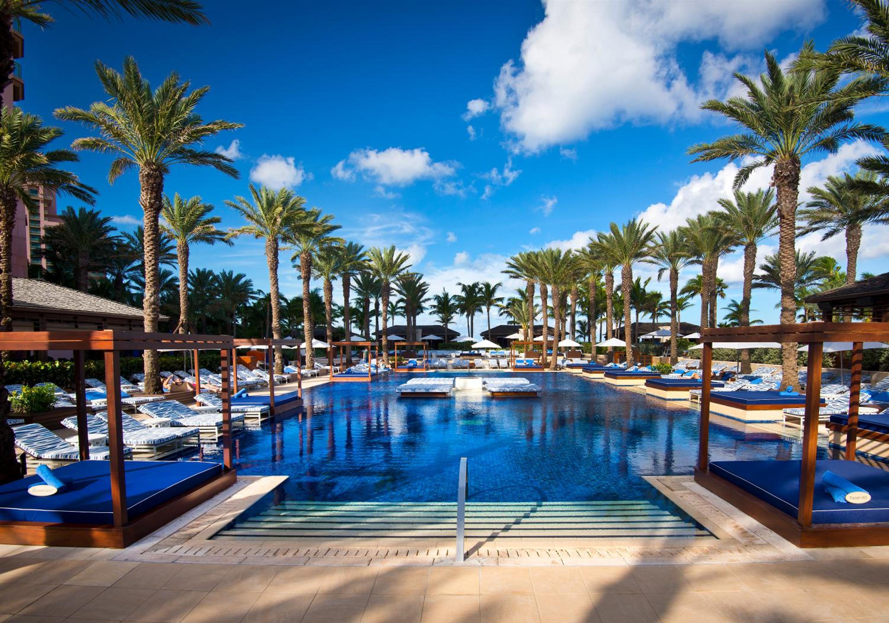
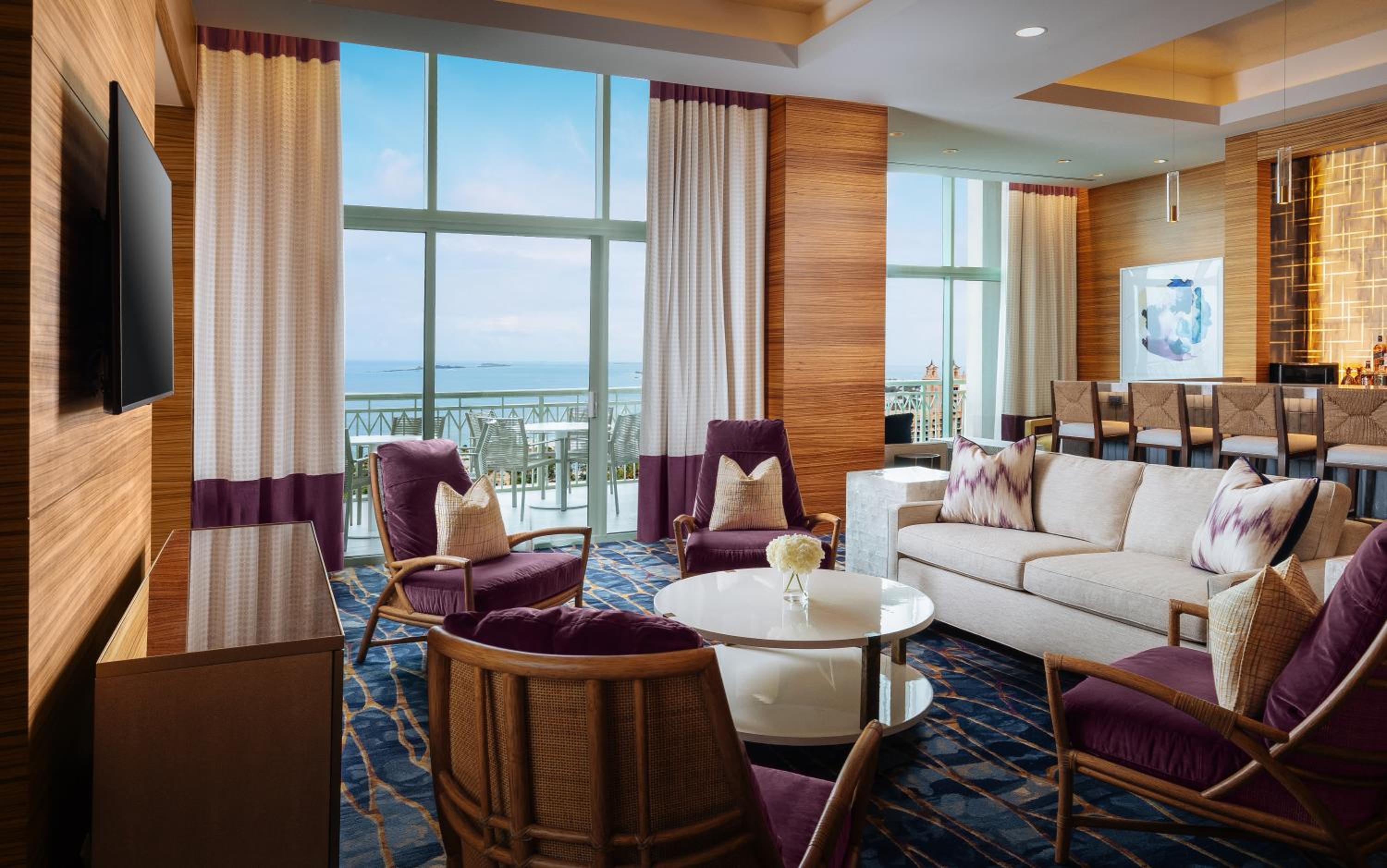
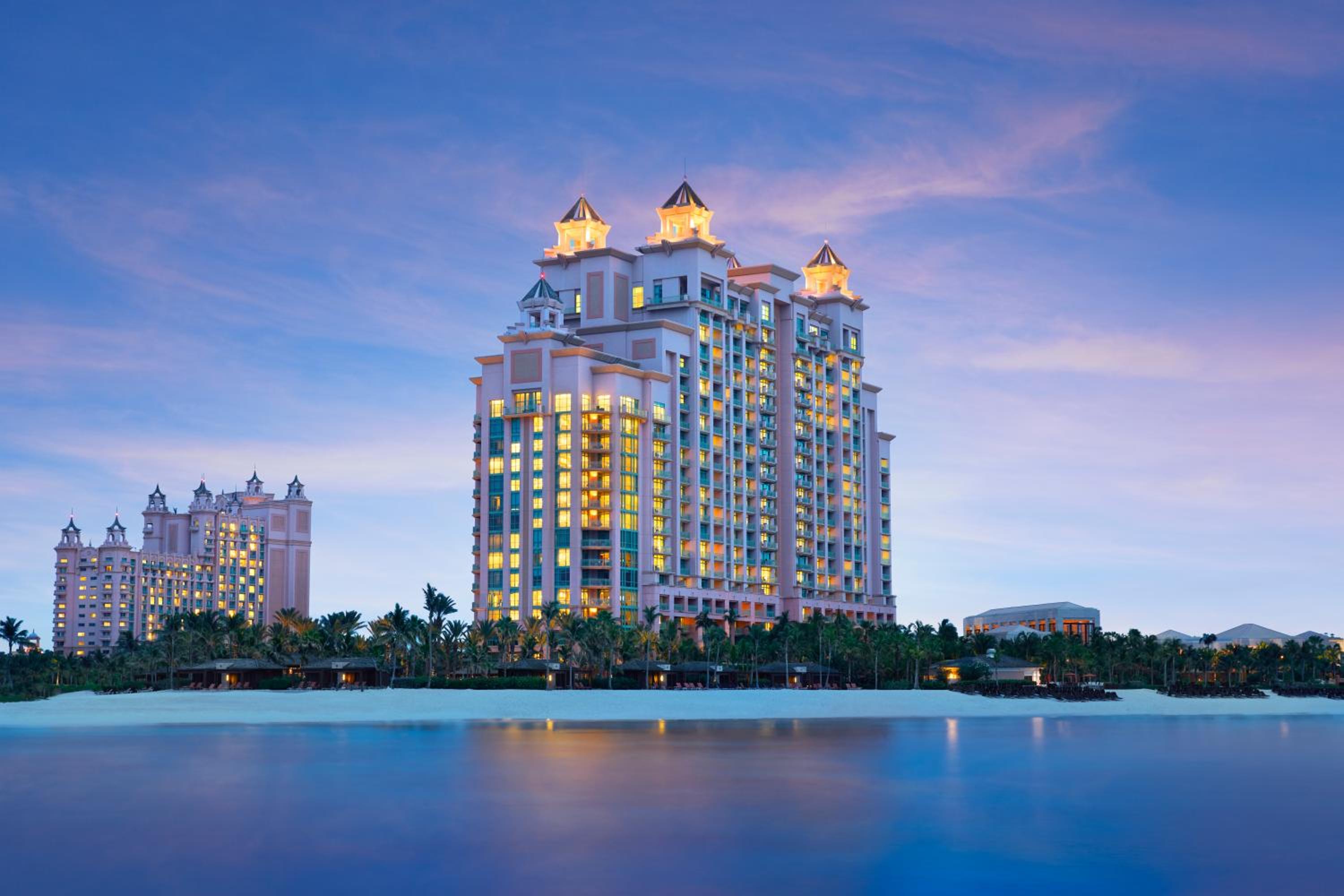
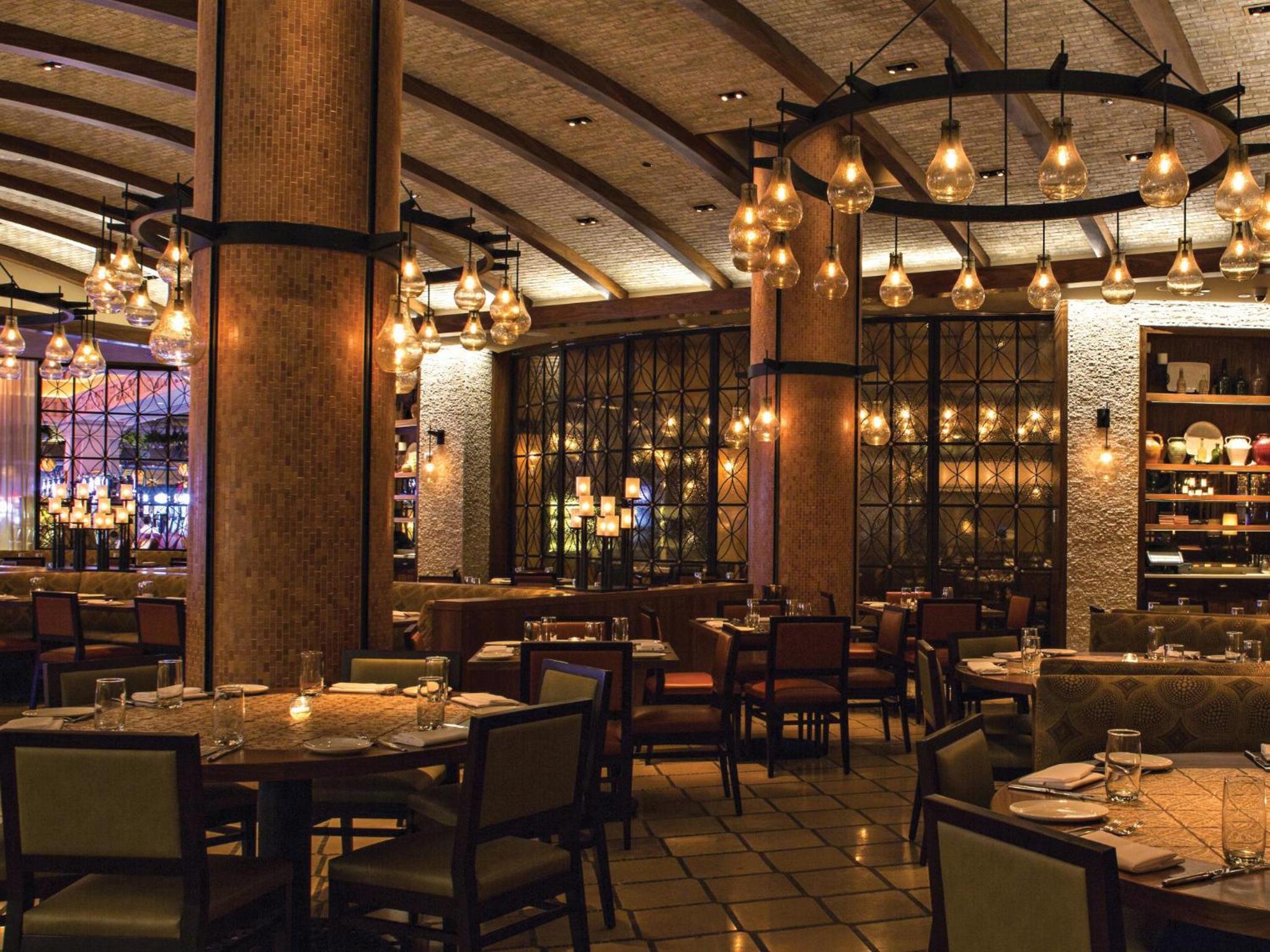



Tell me when The Cove Atlantis grades A
One email when the beach grades A, at most once a week per beach. We only ask for your email address, and every email has a one-click unsubscribe.
We email you a link to confirm first. Privacy
Questions about The Cove Atlantis
Does The Cove Atlantis get sargassum (seaweed)?
Rarely. Veabird estimates moderate or heavier seaweed on the beach here in fewer than one week in ten in every month. Landings vary by year, wind and currents.
How warm is the water at The Cove Atlantis?
About 84°F in October. The sea is warmest in July, August and September (about 87°F) and coolest in February (about 74°F).
When is the best time to visit The Cove Atlantis?
For warm water and dry weather, aim for November. November brings about 12 rainy days and a sea near 79°F.
When is hurricane season in The Bahamas?
The Atlantic hurricane season runs June through November and peaks around September. Veabird rates the storm risk in The Bahamas as moderate compared with the other beaches it covers; flexible bookings and travel insurance help in the peak months.
What guests say about The Cove at Atlantis
Guests like Professional staff · Great location · Beautiful property · Quiet atmosphere
Watch for Cleanliness issues · Low food quality · High prices for dining · Room maintenance concerns
- Cleanliness
7.1 - Service
10.0 - Location
9.6 - Room Quality
8.0 - Amenities
9.0 - Value for Money
7.5 - Food and Beverage
6.6 - Overall Experience
9.5
Read all 515 reviews · Compare on Expedia
Scores and reviews come from guests who stayed, through LiteAPI (Nuitée). The likes, watch-fors and category scores are an AI summary of those reviews. Partner links: Veabird may earn a commission.
Plan your trip
Where to stay nearby
Partner links: Veabird may earn a commission at no cost to you. Partners never affect forecasts or scores.
Sargassum season at The Cove Atlantis
Sargassum is rare at The Cove Atlantis: Veabird estimates moderate or heavier seaweed on the beach in fewer than one week in ten in every month.
Estimated share of weeks in each month with moderate or heavier seaweed on the beach. Veabird takes the landing season seen on Quintana Roo's beaches (a Puerto Morelos beach camera, 2015–2020, and the Mexican Navy's beach alerts, 2022–2026), the nearest coast with a multi-year beach record (this one has none), and scales it by how often NOAA AOML satellites see notable seaweed within about 20 km of this stretch of coast: 7% of weeks here on average, against 54% off Quintana Roo, so 13% of that season. The satellite share (2016–2024, the top fifth of all coast-weeks, adjusted for this beach's exposure of 24%) measures seaweed offshore, not on the sand: off the Riviera Maya it reads high even in winter, when little lands. Very low under 10%, Low 10–24%, Moderate 25–44%, High 45–69%, Very high 70%+. Beach faces 306°; onshore winds from that direction push seaweed ashore. The satellite record as open data.
Weather, water & seaweed by month at The Cove Atlantis
Average highs run from about 76°F in January to 89°F in August. The sea is warmest in July, August and September (about 87°F) and coolest in February (about 74°F). February is usually the driest, with about 9 rainy days; September is the wettest, with about 19 rainy days.
| Month | Avg high | Sea | Rainy days | Sargassum |
|---|---|---|---|---|
| Jan | 76°F | 75°F | 11 | Very low |
| Feb | 77°F | 74°F | 9 | Very low |
| Mar | 79°F | 76°F | 11 | Very low |
| Apr | 80°F | 77°F | 12 | Very low |
| May | 83°F | 83°F | 17 | Very low |
| Jun | 85°F | 85°F | 18 | Very low |
| Jul | 88°F | 87°F | 18 | Very low |
| Aug | 89°F | 87°F | 18 | Very low |
| Sep | 87°F | 87°F | 19 | Very low |
| Oct | 84°F | 84°F | 17 | Very low |
| Nov | 81°F | 79°F | 12 | Very low |
| Dec | 78°F | 77°F | 10 | Very low |
Monthly averages from 6 years of ERA5 reanalysis (Open-Meteo) for this area's 0.5° grid cell; rainy days have at least 1 mm (0.04 in). Sargassum is the typical-year estimate described above. Any given year can differ.
Cleanup & barriers
- Offshore barriers
- None at scale
- Public cleanup
- Ministry of Tourism / Environmental Health spot cleanups on public beaches
- Resort crews
- Large Nassau/Paradise Island resorts rake daily; Out Island beaches often left natural
- Typical clearing time
- Same morning at big resorts; days to never on remote Atlantic beaches
Safety notes
US State Dept: The Bahamas, Level 2 (exercise increased caution) — verify
- Petty and violent crime concentrated in parts of Nassau and Freeport away from resort zones
- Unregulated jet-ski operators have been linked to assaults; use licensed vendors
- Atlantic-facing beaches can have strong rip currents and no lifeguards
Check official advisories and local flags before swimming. Decomposing sargassum releases hydrogen sulfide; avoid heavy piles.
Things to do near Paradise Island, BS
- Atlantis Aquaventure
- Exuma swimming pigs & Thunderball Grotto
- Harbour Island pink sand beach
- Dean's Blue Hole (Long Island)
- Bimini diving & fishing
- Junkanoo (Dec 26 / Jan 1)
Fly in for the best beach days
Suggested dates are a week in December. Change them to match the live forecast above.
Opens a flight search in a new tab. Partner link: Veabird may earn a commission.
Nearest airports
- Nassau Lynden Pindling Intl (NAS), ~15 km
Nearby resorts
- The Reef Atlantis Paradise Island, BS · 0 km
- Atlantis Paradise Island Paradise Island, BS · 0 km
- Paradise Island Beach Resorts Paradise Island, BS · 1 km
- Comfort Suites Paradise Island, BS · 1 km
- Hotel Riu Palace Paradise Island Paradise Island, BS · 1 km
- Best Western Bay View Suites Paradise Island, BS · 1 km
Embed this forecast
Hotels and travel sites can show live conditions for The Cove Atlantis for free. Get the widget · Data & API